Three Weeks in Haugesund
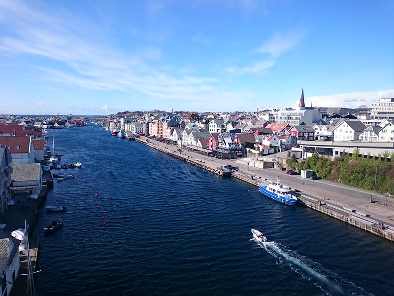
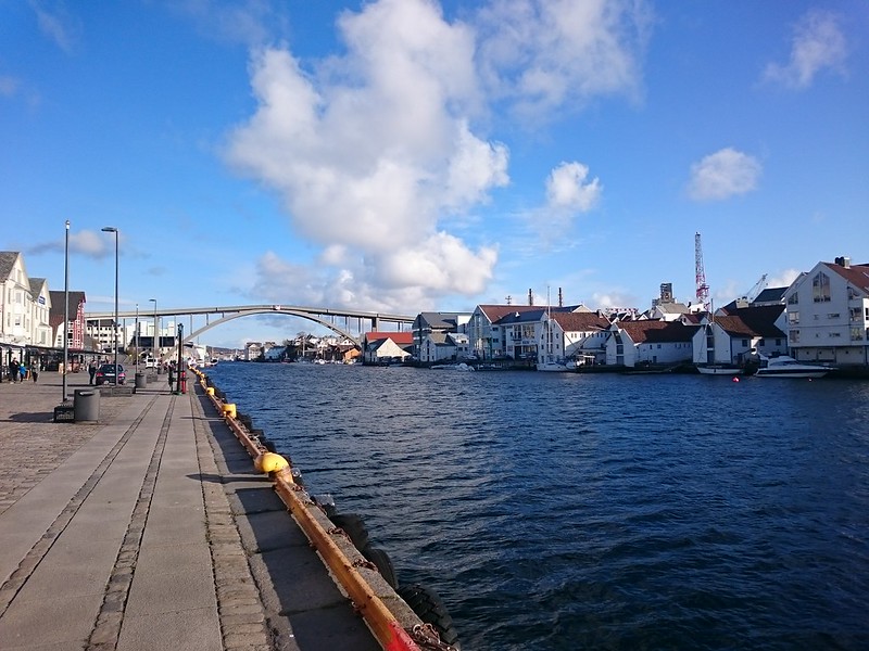
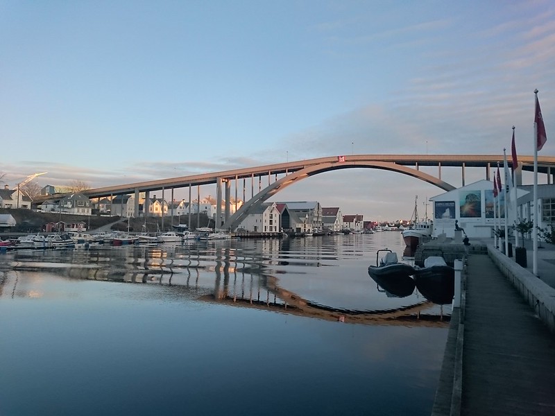
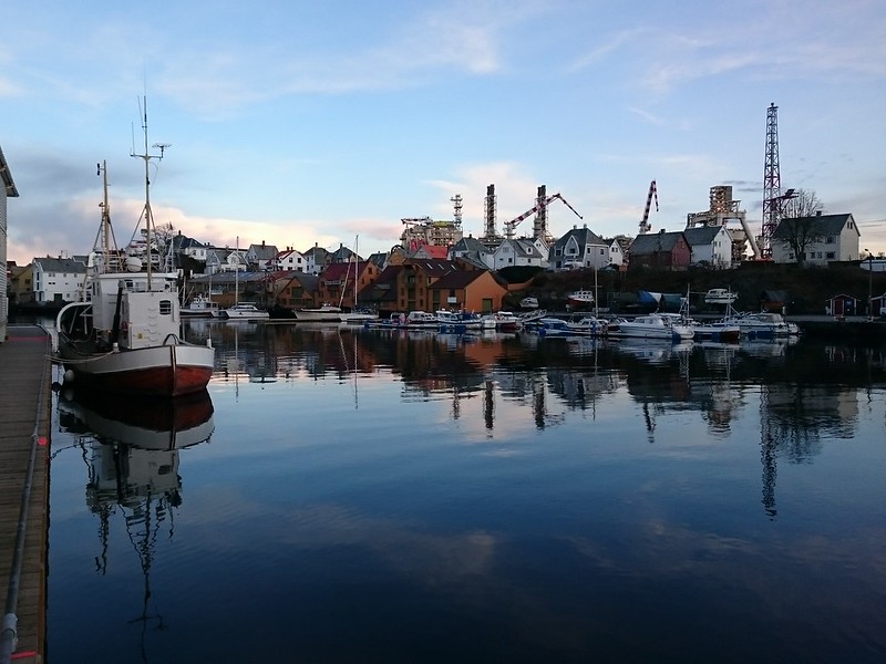
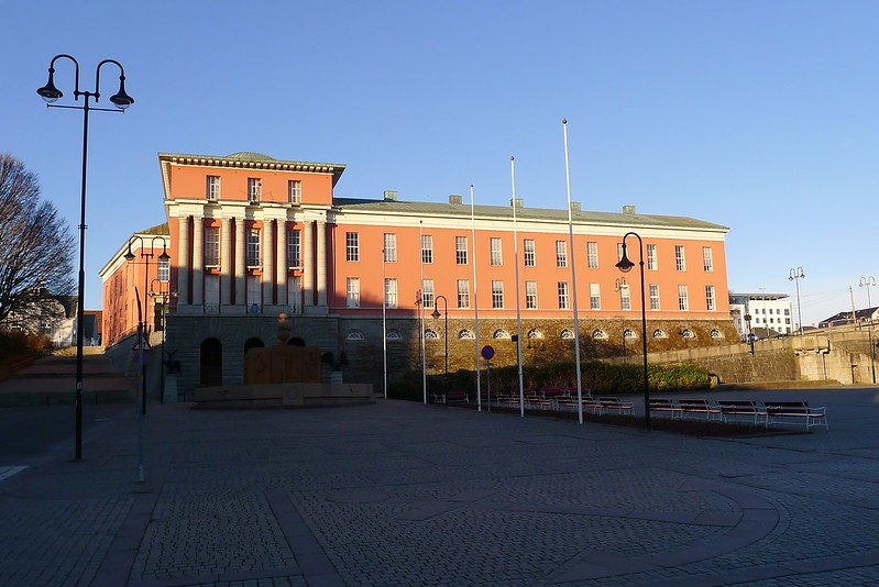
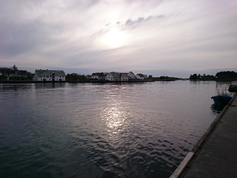
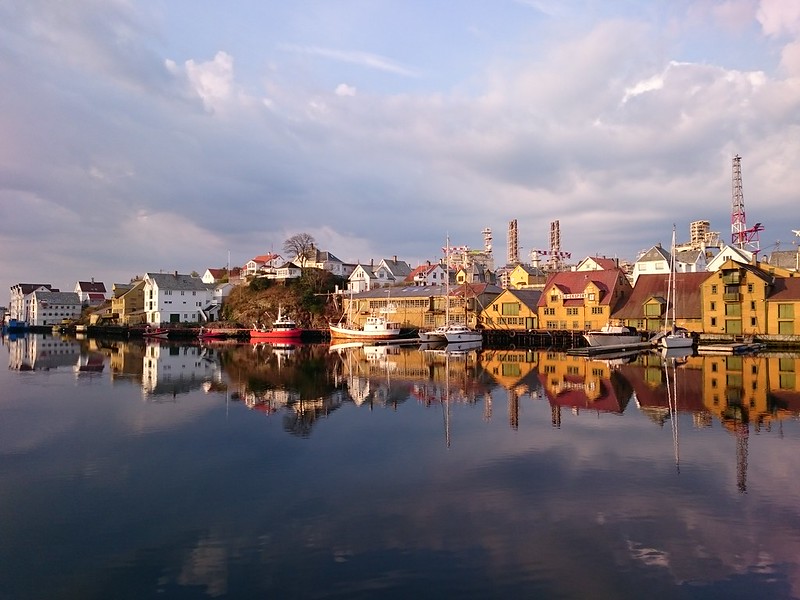
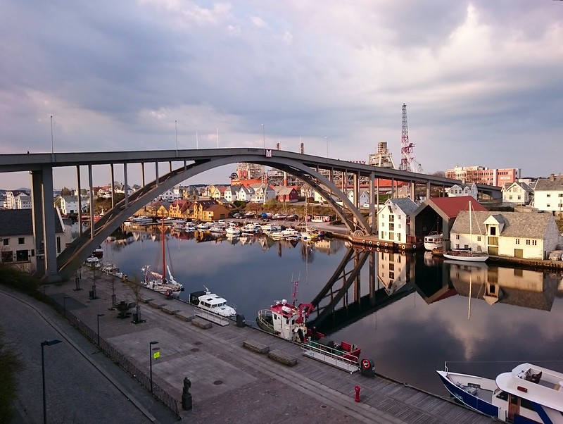
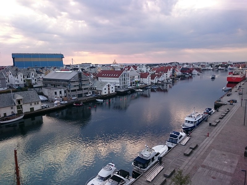
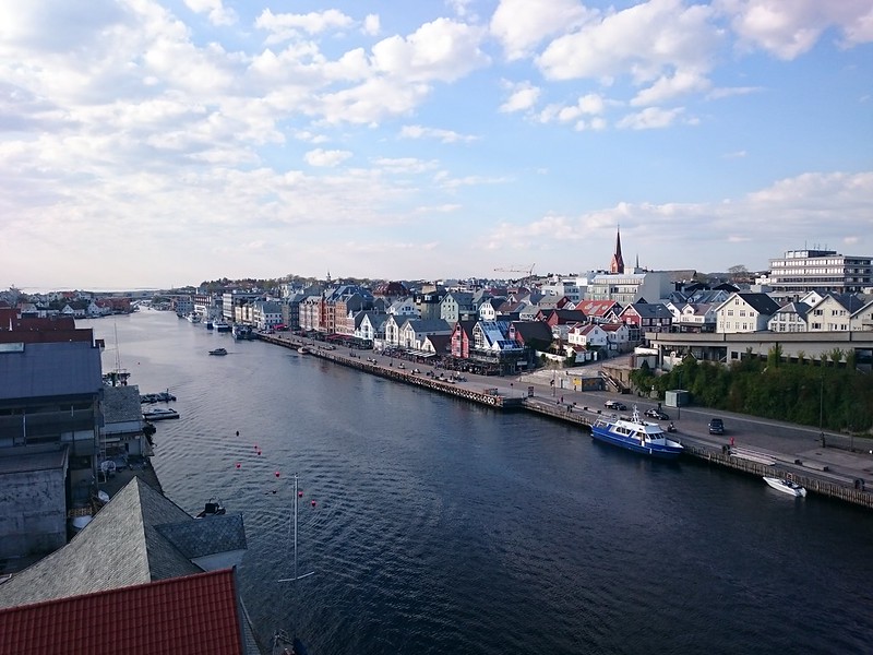
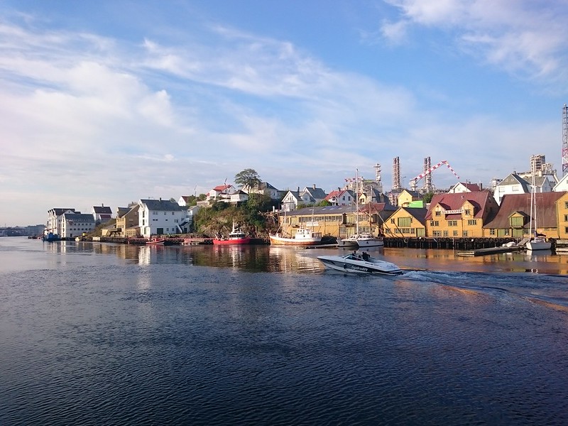
For three weeks in late April and early May I was working and staying the Norweigan town of Haugesund, down in the southwest corner of the country amongst the spectacular landscapes of fjordland. I spent much of the time working on the small island of Risoya, home to a large industrial complex. Thankfully it was just a short walk across a bridge back to Haugesund itself with its bustling waterfront and Norweigan charm.
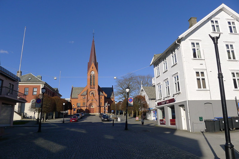
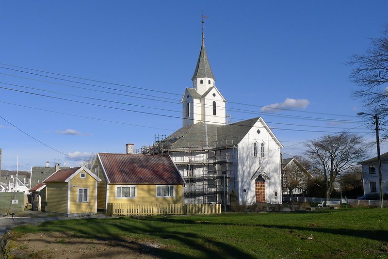
This post has a few images from around Haugesund itself, as well as from some of the walks and hikes I managed to squeeze in during my time in town.
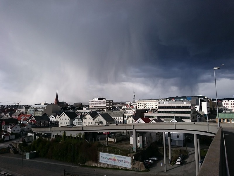
With long work shifts I wasn’t ever able to do a great deal of exploring, but did make a point of getting out for walks or runs on several of the evenings when the weather was particularly good.
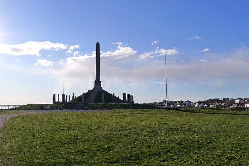
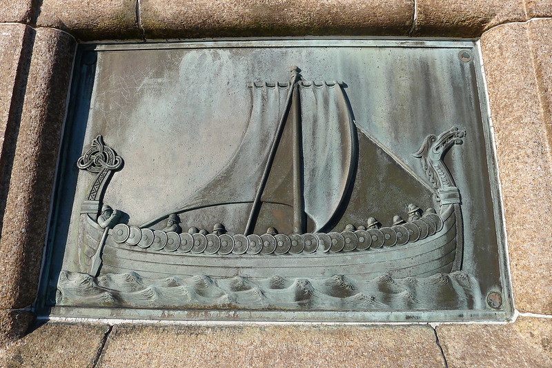
One of my earliest walks took me north of the town to Haraldshaugen, Norway’s National Monument The stone obelisk is covered in images of viking kings and provided an excellent viewpoint on a sunny evening.
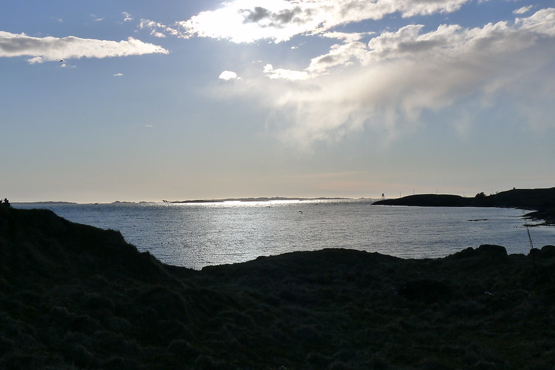
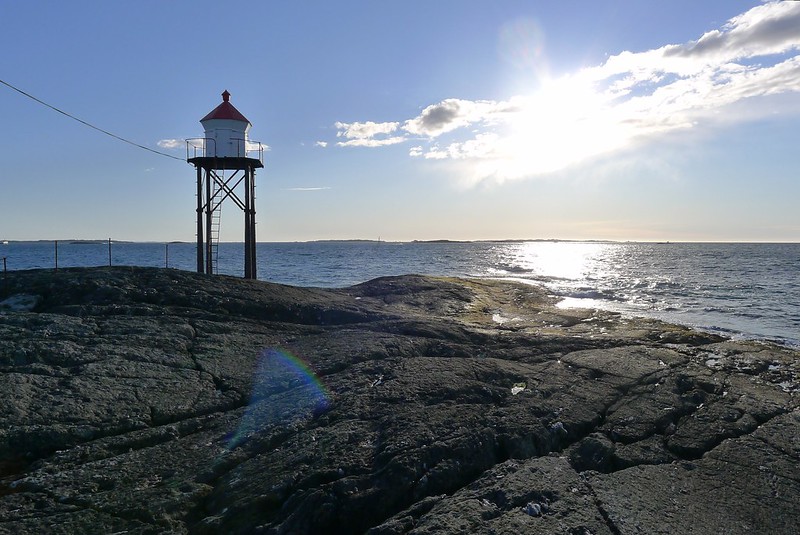
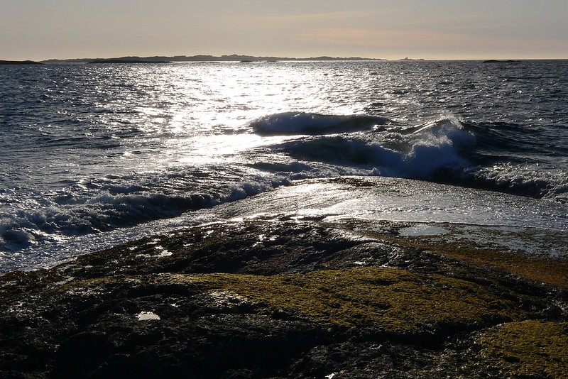
From Haraldshaugen I followed the undulating coastal path that wound its way around the bay to Kvalen lighthouse, sitting on the edge of a rocky promontory jutting out into the mouth of the sound. The views from here, looking out into the shimmering waters of the North Sea, were stunning.

One evening, whilst waiting for a load of laundry to complete I decided to walk up to Djupadalen, a recreational outdoor area set around a wooded lake with myriad hiking and running trails.

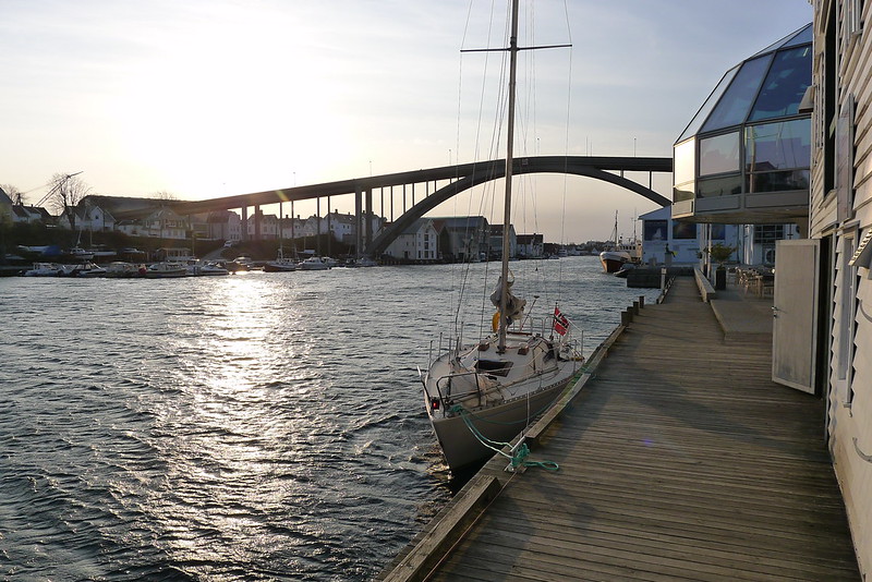
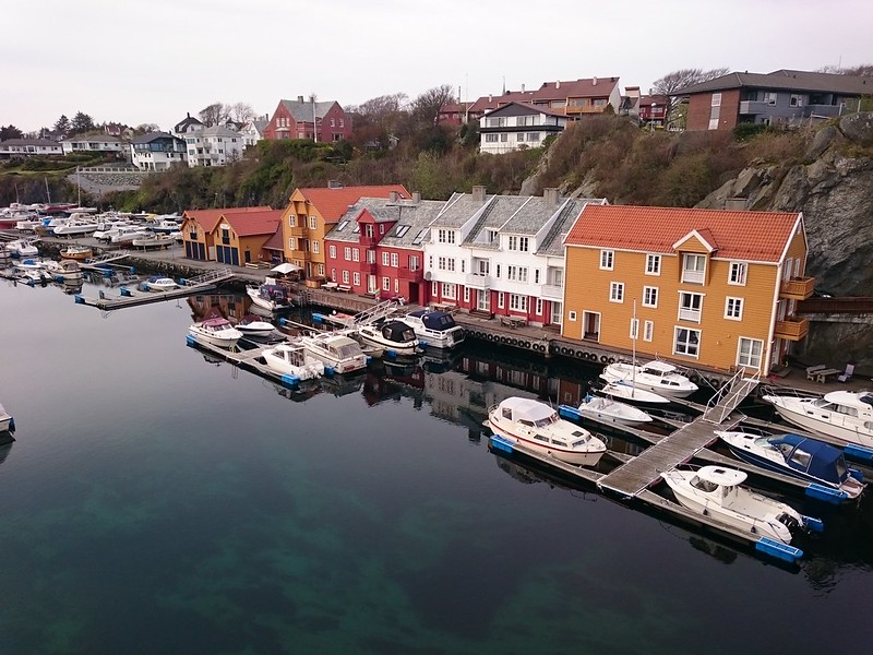
My next wander took me along to Hasseloya, the next island north along the sound. Reached by another road bridge there were views down into the stunningly clear waters of Haugesund marina.

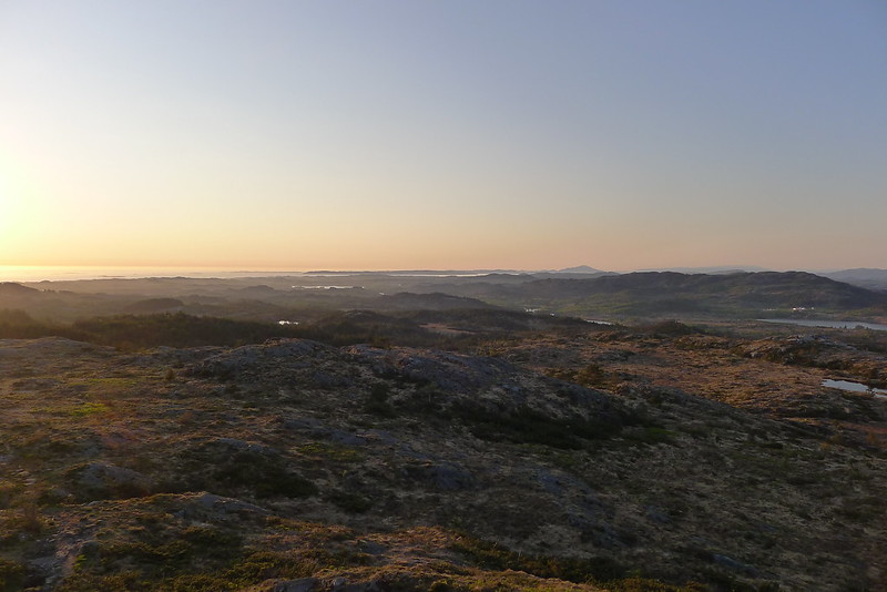
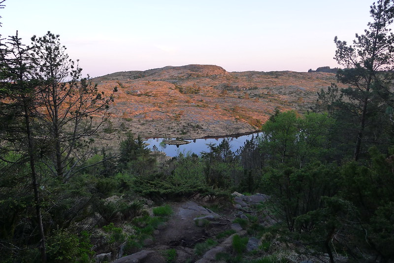
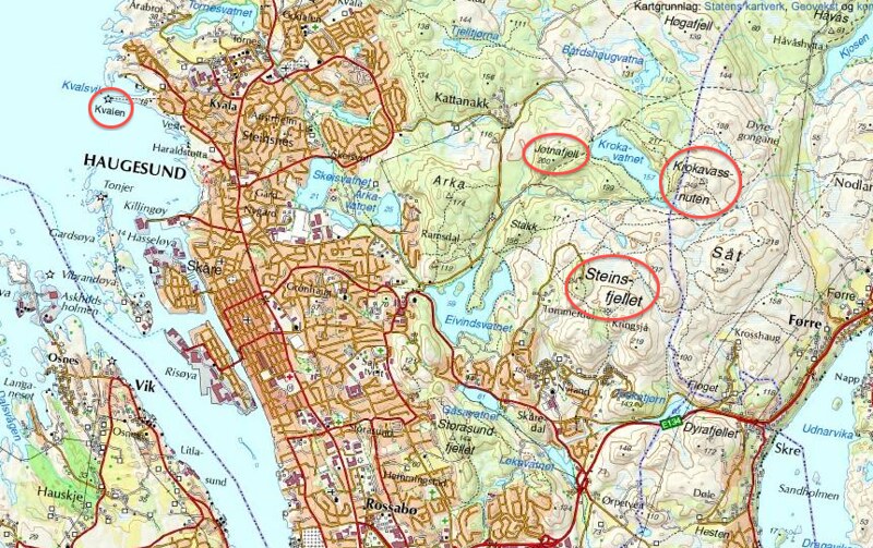
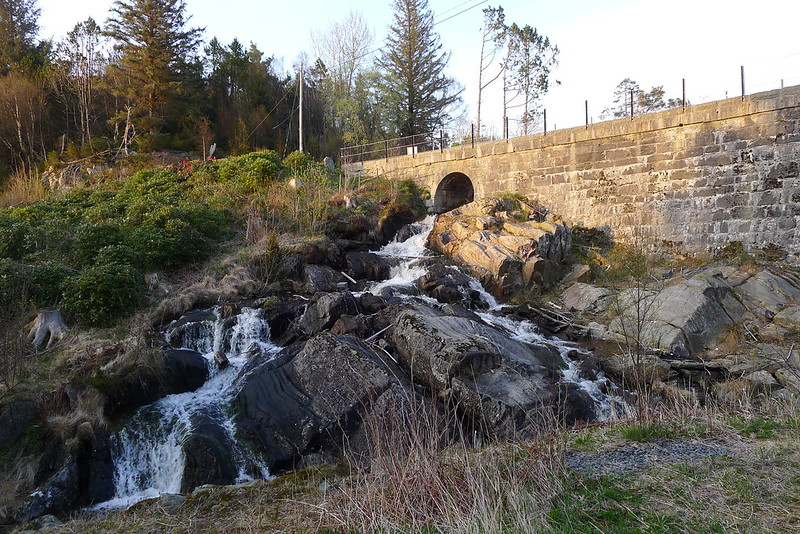
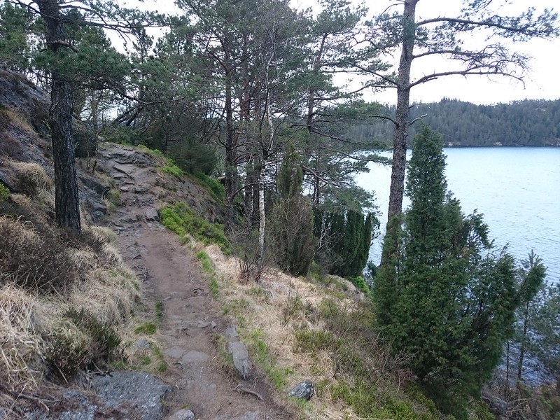
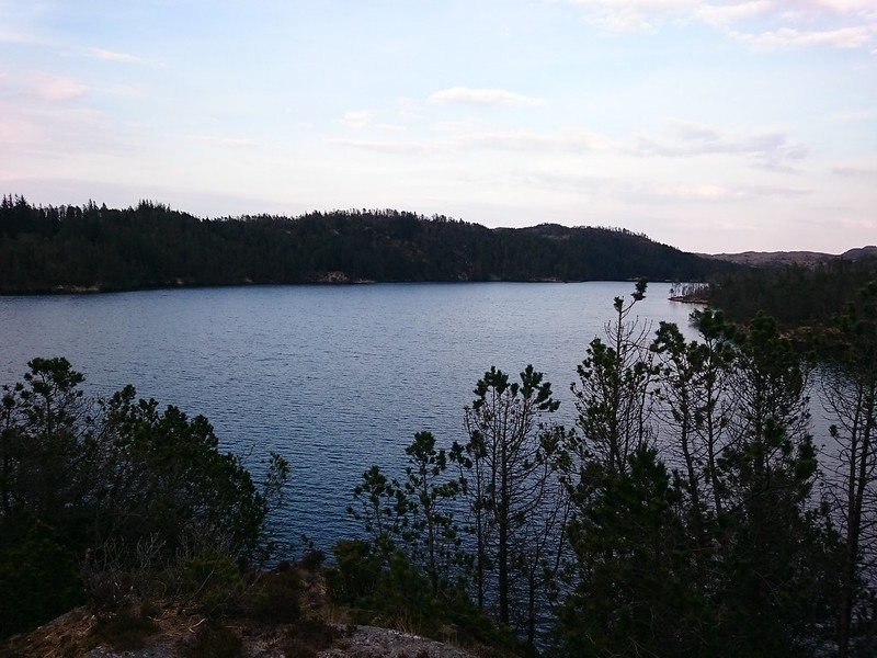
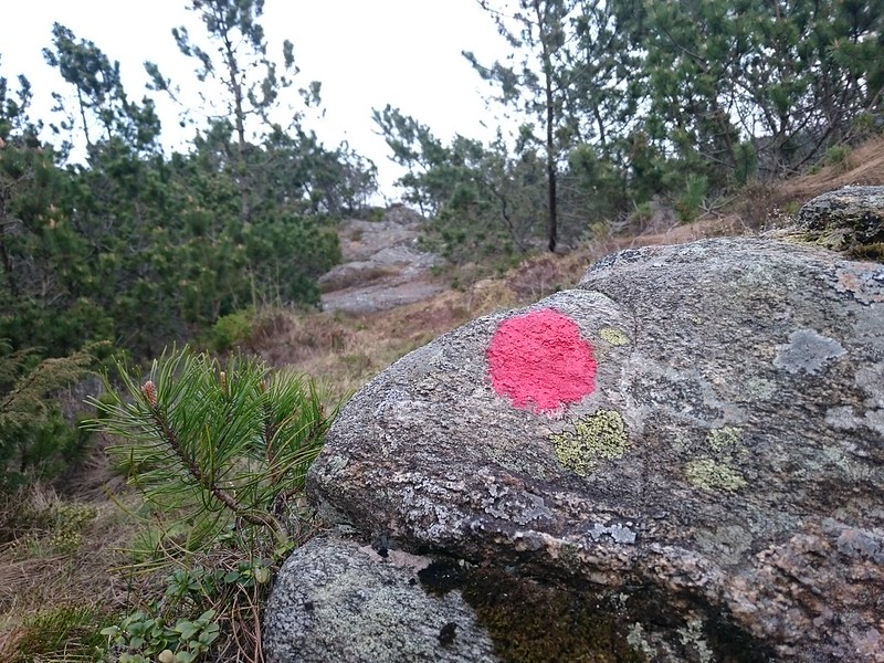
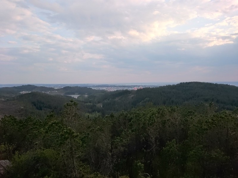
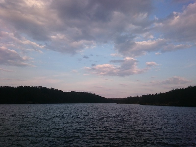
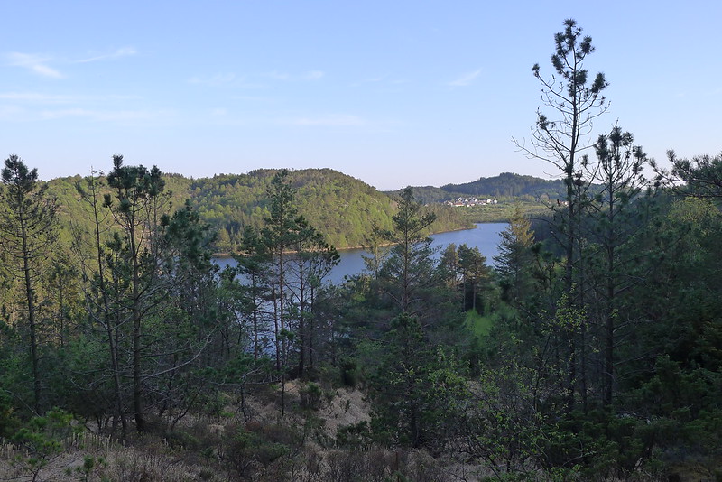
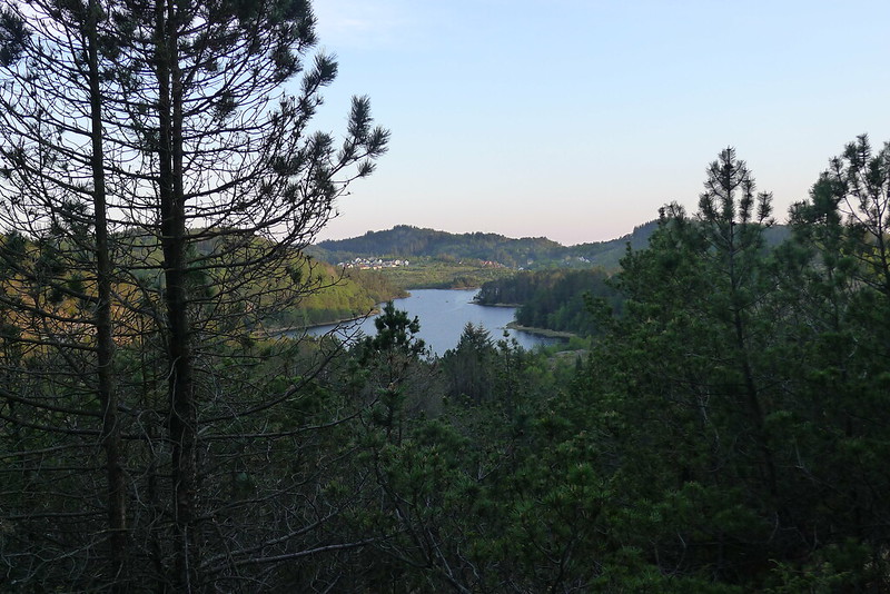
With the weather improving I decided to see how far into the hills I could get. I headed up to Djupadalen and then took a winding narrow rocky staircase up to the southern end of Krokavatnet lake. The path was dramatic, hugging the steep and rocky shoreline. Near the dam a side trail piqued my curiosity and I followed the red splashes on rocks and tree trunks up until I came out on a rocky ridge with fabulous views to Haugesund and a distant pool of golden sunlight on the North Sea.

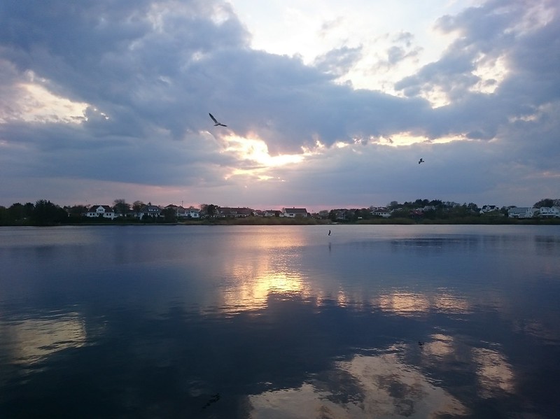
I returned by one of the town’s smaller lakes, Skeisvatnet.
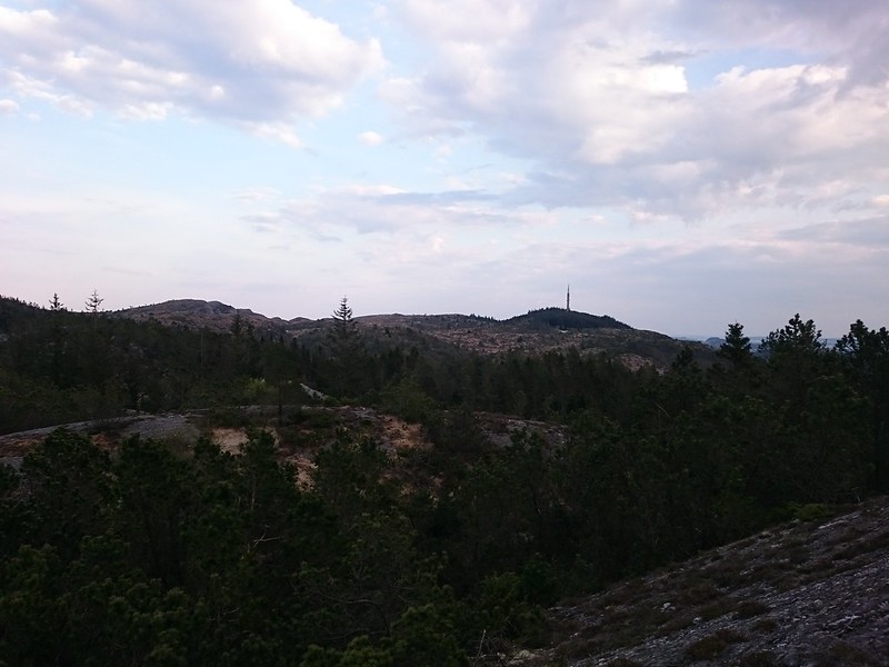
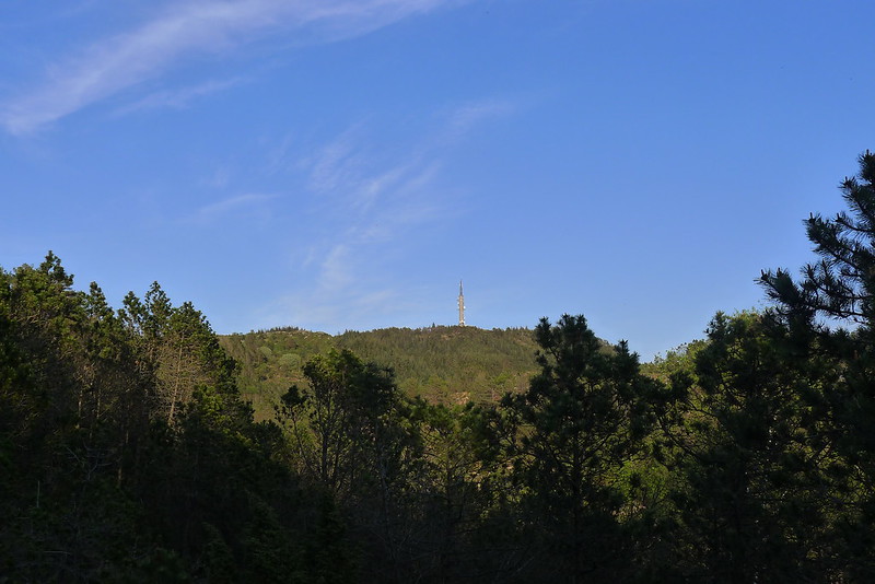
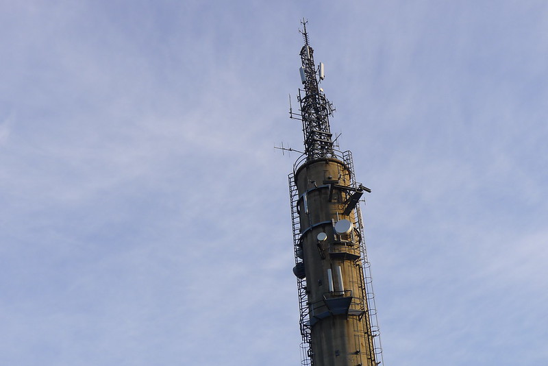
The next time I returned to Djupadalen, just a few days later, spring had sprung; temperatures had soared into the mid-twenties and suddenly everything was green and pleasant. In the park people splashed around in the calm waters of Eivindsvatnet and I decided it was finally time to climb up to the top of Steinsfjellet, the hill with the distinctive tower on top that can be seen from most places in downtown Haugesund. The views from the top were worth the effort of climbing up a steep but enjoyable path.


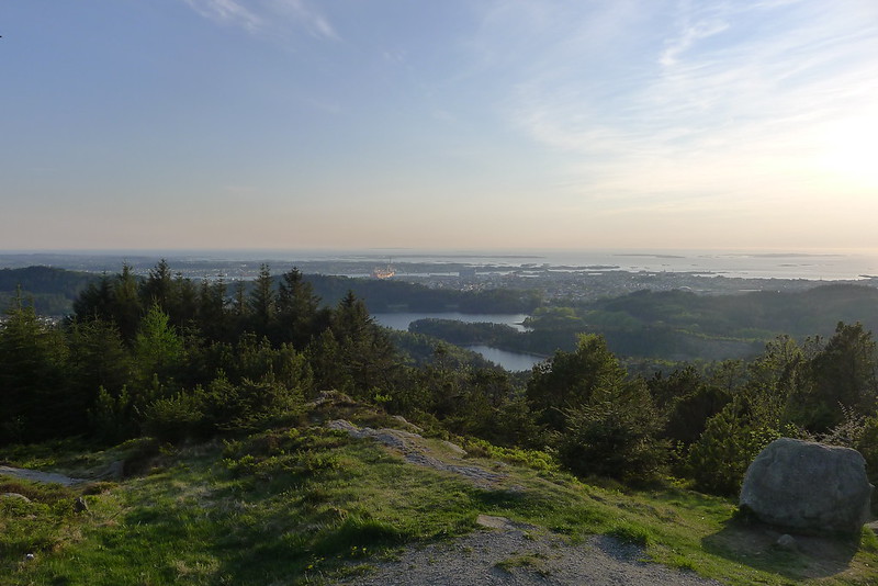

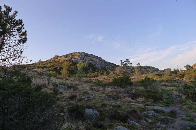
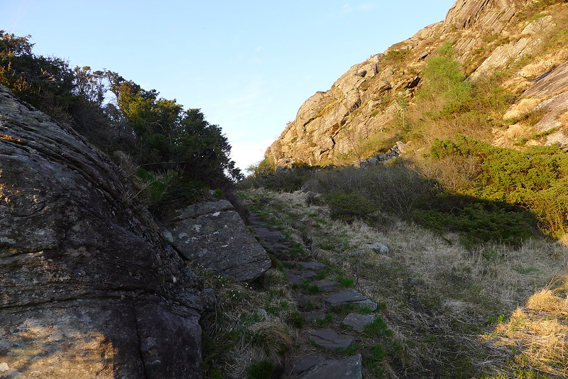
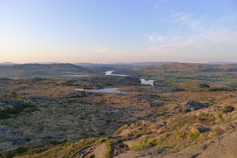
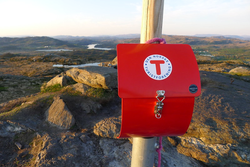
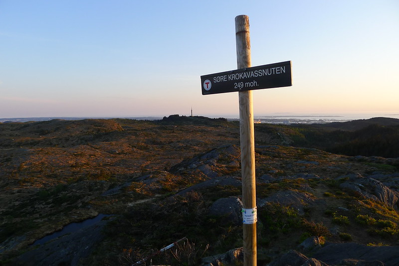
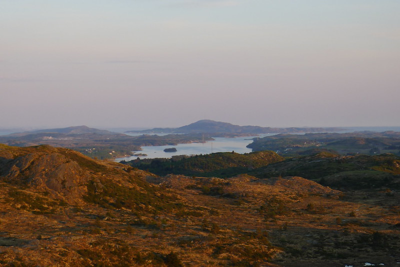
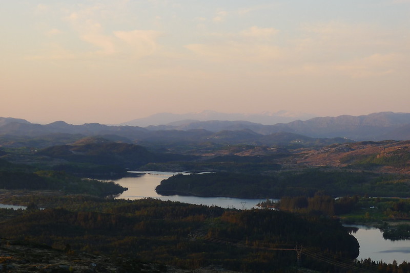
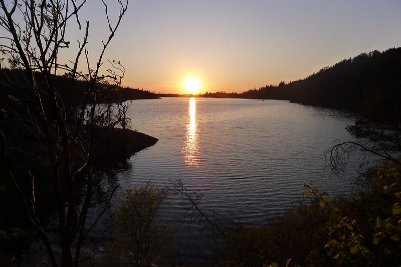
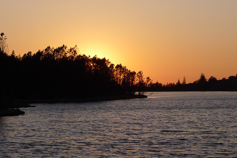
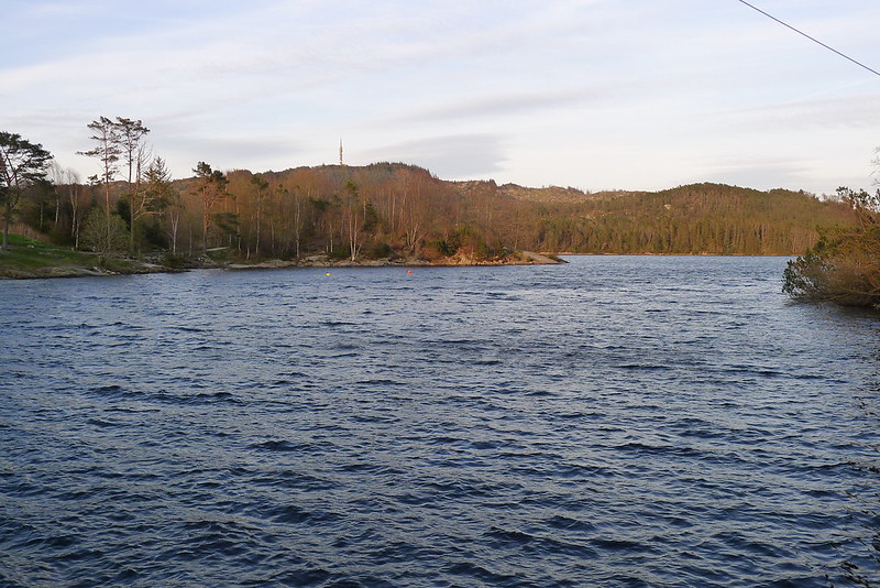
The great weather continued into the final full day of my time in Haugesund. Near the top of Steinsfjellet I spotted a map and description for a trail that would take me to the summit of Krokavassnuten, at 249m the highest of the Haugesund hills. The trail led me through the narrow valley of Trolladalen and then up the rocky shoulder to Krokavassnuten where I enjoyed a magnificent 360 degree panorama of lakes, fjords and hills whilst eating my dinner. I returned via the northern end of Krokavatnet lake, the sun disappearing beyond the trees in a fiery blaze.